Search results for :
Satellite Imagery
SATELLITE IMAGERY - Link to asses free satellite imagery
Published on Apr 08, 2020
FREE SATELLITE IMAGERY SOURCE LINK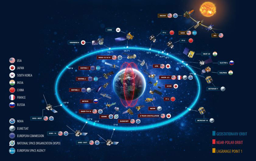
Awesome facts about Satellites
Published on May 20, 2021
Sputnik 1 was the first satellite in space. The Soviet Union launched it in 1957.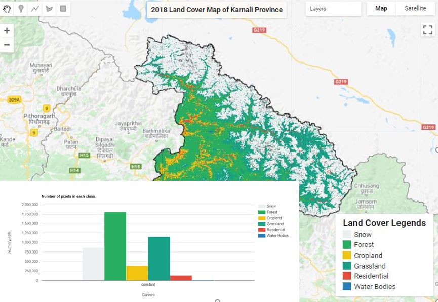
Land Cover Mapping - Part 4 (Analyze Statistics)
Published on Jun 08, 2020
Statistics are simple tools that helps us for a better understanding of our images. Spatial statistics is one of the most rapidly growing areas of statistics.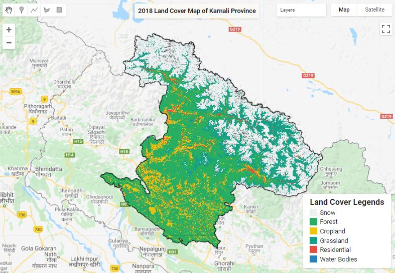
Land Cover Mapping - Part 3 (Validation)
Published on Jun 04, 2020
The surface of the Earth is continuously changing at many levels; local, regional, national, and global scales. Changes in land use and land cover are pervasive, rapid, and can have significant impacts on people, the economy, and the environment.
Google Earth Engine tip 1 (clipping)
Published on May 26, 2021
Google Earth Engine (GEE) Tips provide a foundation to quickly begin learning and using GEE. If you are new to GEE, you will want to know small and handy tips.
ESRI 10m Land Cover 2020 in GEE
Published on Jul 19, 2021
ESRI 10-meter resolution map of Earth’s land surface from 2020 with High-resolution, open, accurate, comparable, and timely land cover maps in GEE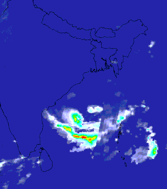
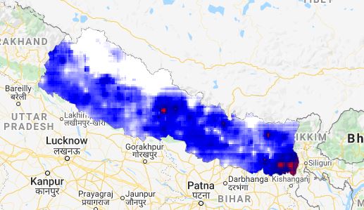
Google Earth Engine tip 2 (Cyclone Thumnail)
Published on May 27, 2021
The Indian Ocean cyclone season has no official bounds, but cyclones tend to form between April and December, with the peak from May to November. With Google Earth Engine you can create and visualize the cyclone in the video for a particular day.