Search results for :
Machine Learning
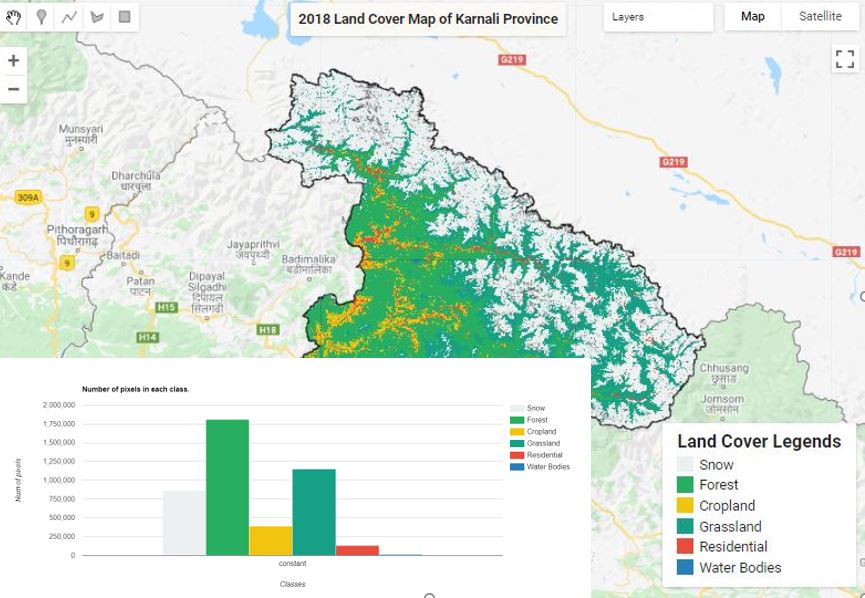
Land Cover Mapping - Part 4 (Analyze Statistics)
Published on Jun 08, 2020
Statistics are simple tools that helps us for a better understanding of our images. Spatial statistics is one of the most rapidly growing areas of statistics.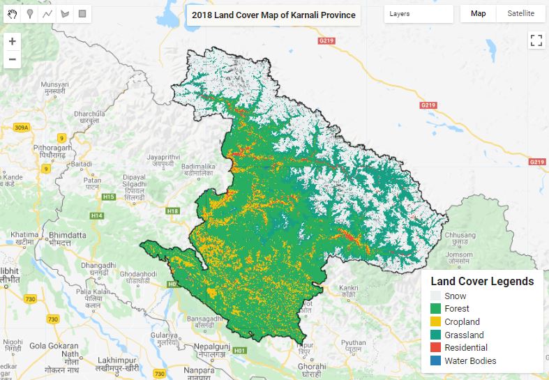
Land Cover Mapping - Part 1
Published on May 31, 2020
The surface of the Earth is continuously changing at many levels; local, regional, national, and global scales. Changes in land use and land cover are pervasive, rapid, and can have significant impacts on people, the economy, and the environment.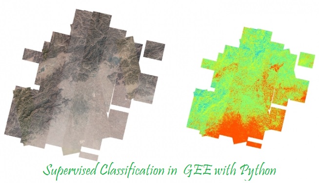
Supervised Classification in GEE
Published on May 10, 2020
Supervised classification is the technique most often used for the quantitative analysis of remote sensing image data.
Land Cover Mapping - Part 2
Published on May 31, 2020
The surface of the Earth is continuously changing at many levels; local, regional, national, and global scales. Changes in land use and land cover are pervasive, rapid, and can have significant impacts on people, the economy, and the environment.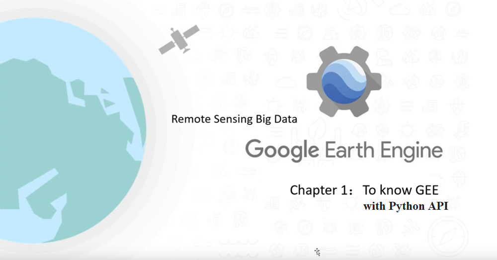
Google earth engine with python
Published on May 07, 2020
In addition to the web-based IDE Google Earth Engine also provides a Python API that can be used on your local machine.
Land Cover Mapping - Part 3 (Validation)
Published on Jun 04, 2020
The surface of the Earth is continuously changing at many levels; local, regional, national, and global scales. Changes in land use and land cover are pervasive, rapid, and can have significant impacts on people, the economy, and the environment.